Clarksville's concrete commercial centers often swelter during summer days, and now there’s data to prove it.
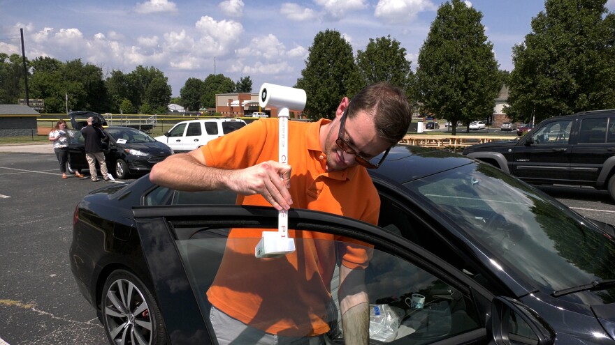
Town officials and volunteers traveled by car and bike through different parts of town to measure temperatures last August. The new maps show the effects of Clarksville’s urban heat island.
“The first thing we do is walk you through the hottest and coolest places around Clarksville, and really what the different things are that are going on in those areas that are contributing to those temperatures,” heat relief coordinator Bronte Murrell said.
The website includes information on some of the science behind heat islands. It explains how parking lots, roads, sidewalks and other hard surfaces retain heat much easier than greenspace.
That’s why Clarksville’s commercial centers and other developed areas along Interstate 65 are as much as seven degrees hotter than residential areas and parks just a few miles away. The hottest area was the I-65 and Veterans Parkway interchange, at 93.2 degrees.
Murrell said the interactive map allows people to explore the town’s temperatures on their own.
“You can look at what the temperatures are like for the area you live in, versus where you shop or where your friend lives or where you go to school, all these different places so that you can really explore on your own to see how those temperatures vary across the community,” she said.
The effort is part of the town’s Beat the Heat initiative. Officials will use data from the maps and public surveys to develop a heat management strategy later this year.
Clarksville is presenting a draft version of the strategy at two meetings this month.
John Boyle is a corps member with Report For America, a national service program that places journalists into local newsrooms. John's coverage of Southern Indiana is funded, in part, by the Caesars Foundation of Floyd County, Community Foundation of Southern Indiana and Samtec, Inc.


